
There are no shortcuts to any place worth going.
– Beverly Sills –
Just a day after this incredible hike, I just couldn’t wait to share my experience with all of you. I almost hesitated to call it a “chill” adventure, as it turned out to be one of the most challenging and technically demanding hikes I’ve ever done. While it was tough, we managed to complete the back-trail before daylight faded, and let me tell you, that sense of achievement felt so good!
As of 2025, I’ve been on a mission to summit the highest peaks across the provinces of the Philippines. Last February, I conquered Mt. Irid, the highest peak in Rizal, followed by Mt. Apo—the country’s highest peak—and Mt. Kiamo, the highest point in Malaybalay, Bukidnon. This time, I tackled the highest point in Quezon Province: Mt. Kamamasam, standing at 1,339 meters above sea level, located in General Nakar, Quezon.
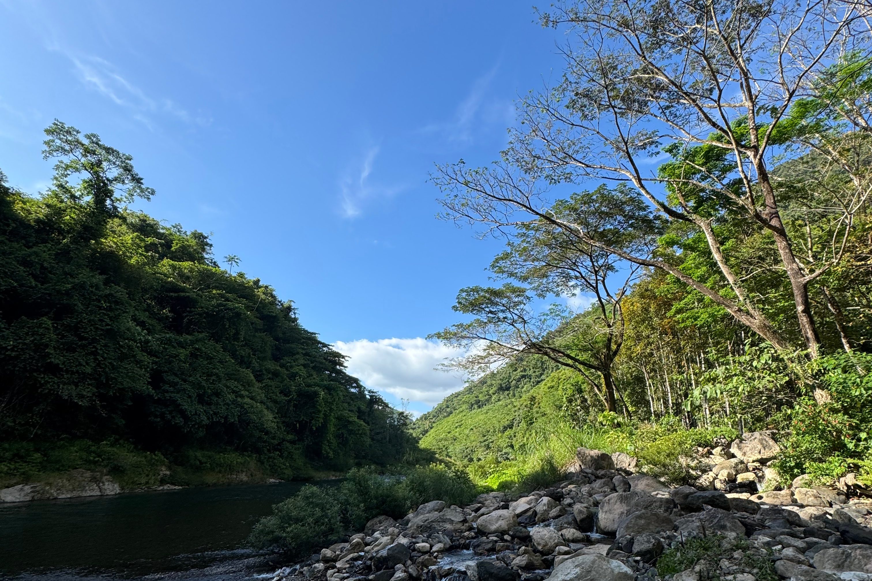
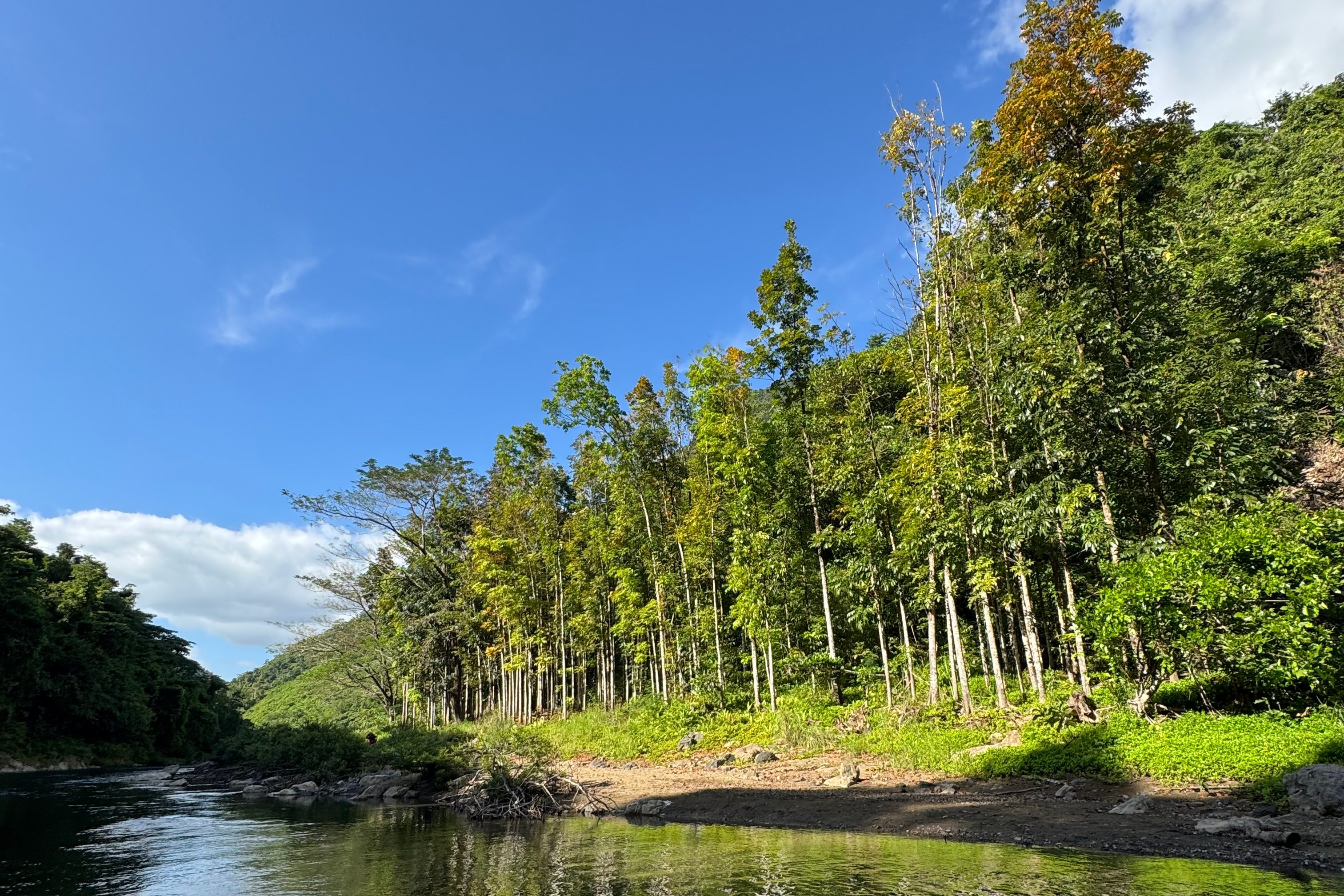
Our journey began at Barangay Laiban in Tanay, Rizal, a community recently praised for reforesting 180 hectares of denuded land. You can read more about it here.
Now, let me take you through the 3 T’s (Time, Trail, and Toil) of this hike—just as I always do in my adventure diaries!
TIME and TRAIL
This hike was set up as a “revenge hike” for my sister Michelle Palapala (not really my sister, but close enough!) to celebrate her birthday. We left Greenfields, Mandaluyong, at nearly midnight and reached the jump-off point in Barangay Laiban by around 2 AM.
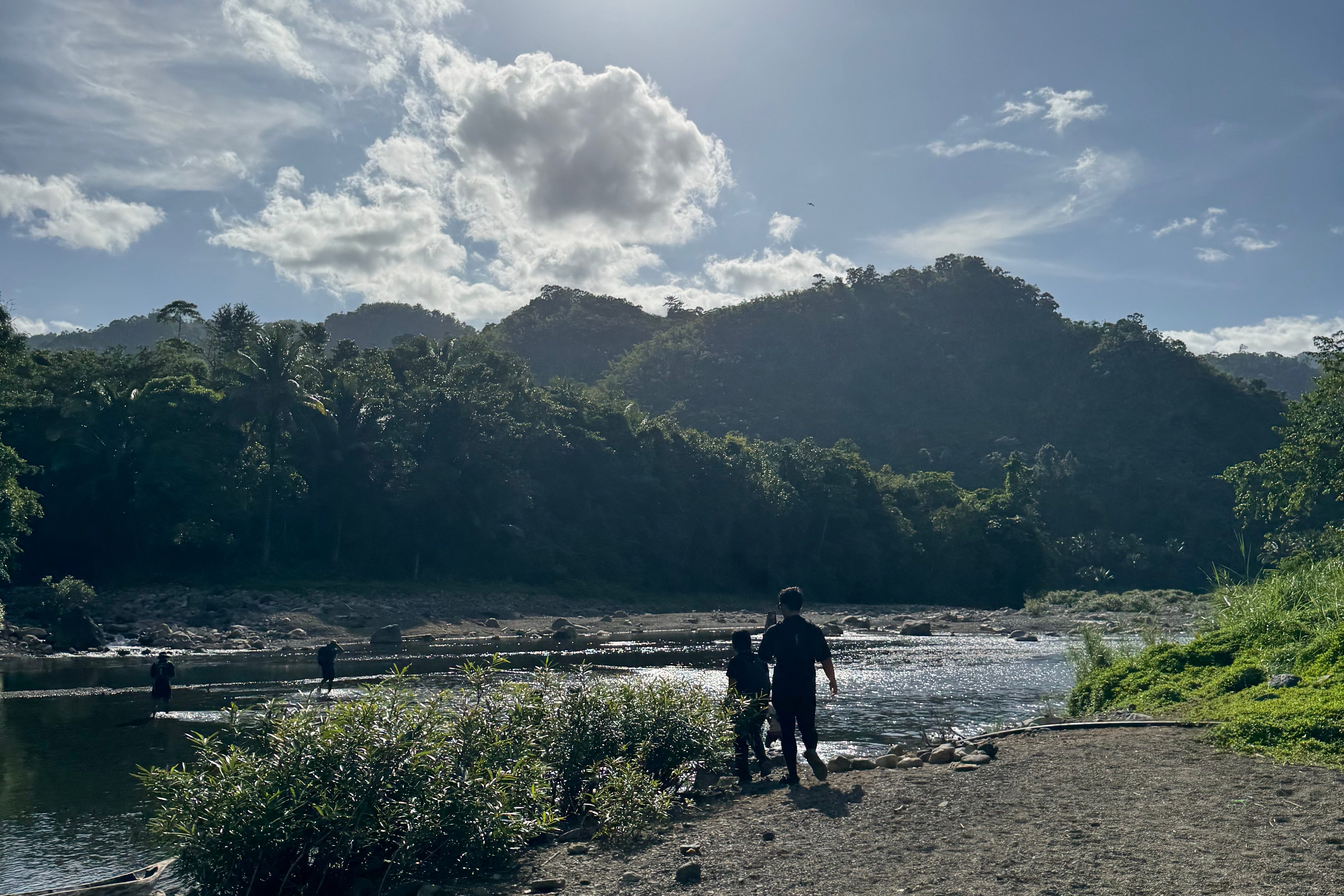
We waited for over an hour for our local guides due to a fiesta happening in the barangay, but we made the most of it with a quick breakfast—just some hot cup noodles. By 3 AM, we crossed the river and headed to one of the local official’s houses to register.
Passing through the barangay’s center, where the fiesta was still going strong, we finally met up with our guides. After signing in and offering a quick prayer, we officially began our trek around 3:30 AM.
Out of the 14 of us, five had previously tackled this 9/9 difficulty hike, and they warned us about the endless river crossings ahead. Eduard and Michelle were both determined to finish early, aiming for the Rosary Trail, a longer and more challenging option compared to the usual back-trail.
We didn’t just walk, we powered through the trail. Keeping up with Eduard and Michelle, I followed the lead guide, and we soon found ourselves starting the relentless river crossings.
Thankfully, it hadn’t rained for the past few days, so the river wasn’t as deep as it could have been—though some crossings reached waist-deep. The first few were refreshing, but after crossing nearly five rivers, my knees began to ache, and I couldn’t help but wonder: What if it had rained the night before? How would we manage then?
As we crossed, we joked about how many rivers we had passed— we lost count! Our lead guide, Kuya Paul, was a machine, powering through the rivers without breaking a sweat. We, on the other hand, were struggling to keep up, but we pushed on.
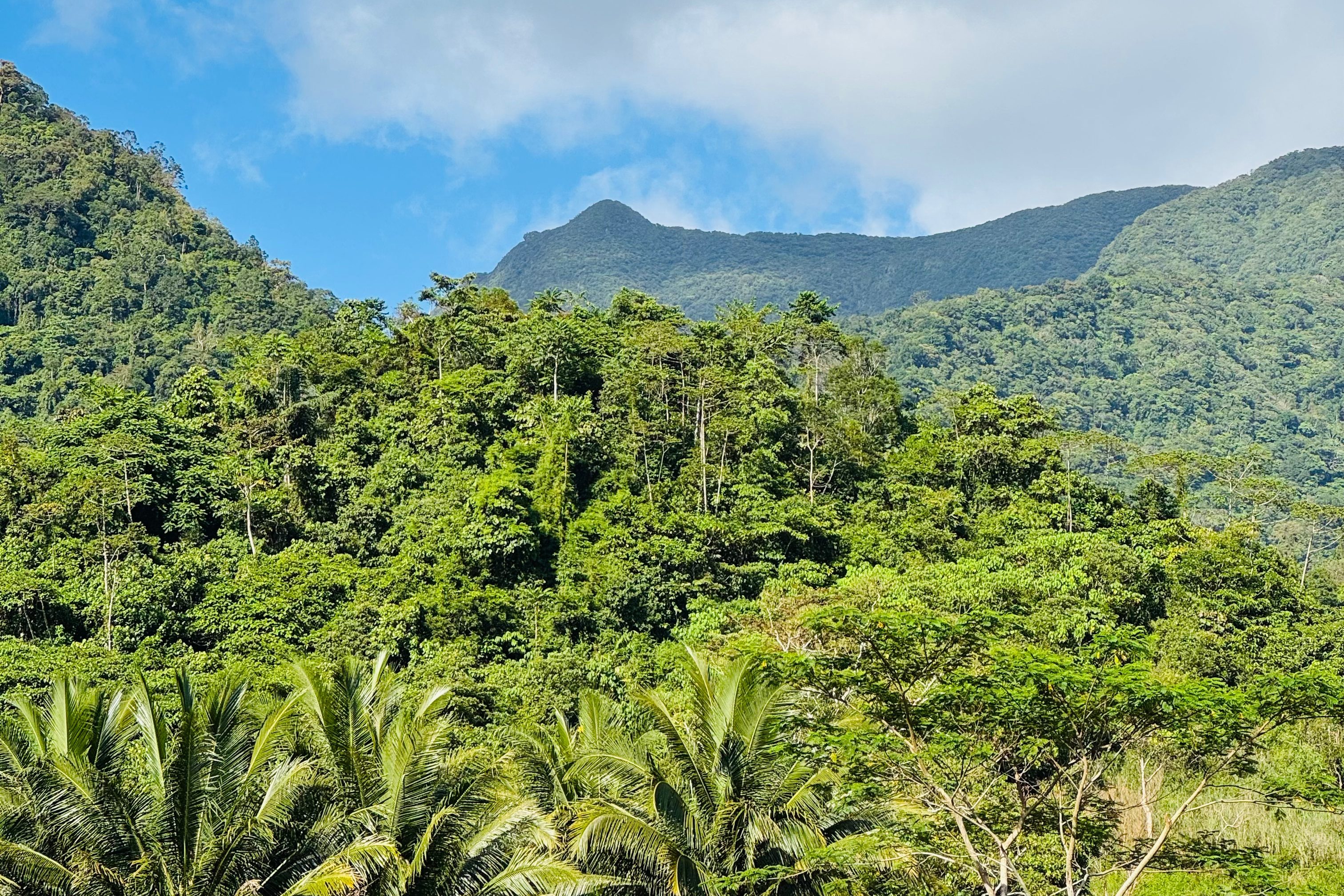
Finally, after two hours, past 5 AM, we reached the Mahogany Forest, where we had to decide whether to continue onto the Rosary Trail (which meant more river crossings, steeper ascents, and knife-edge ridges) or proceed to the back-trail. Ricky, our organizer, chose the latter, planning to ascend for the next four hours. If we made good time, we could do the Rosary Trail on the way back.
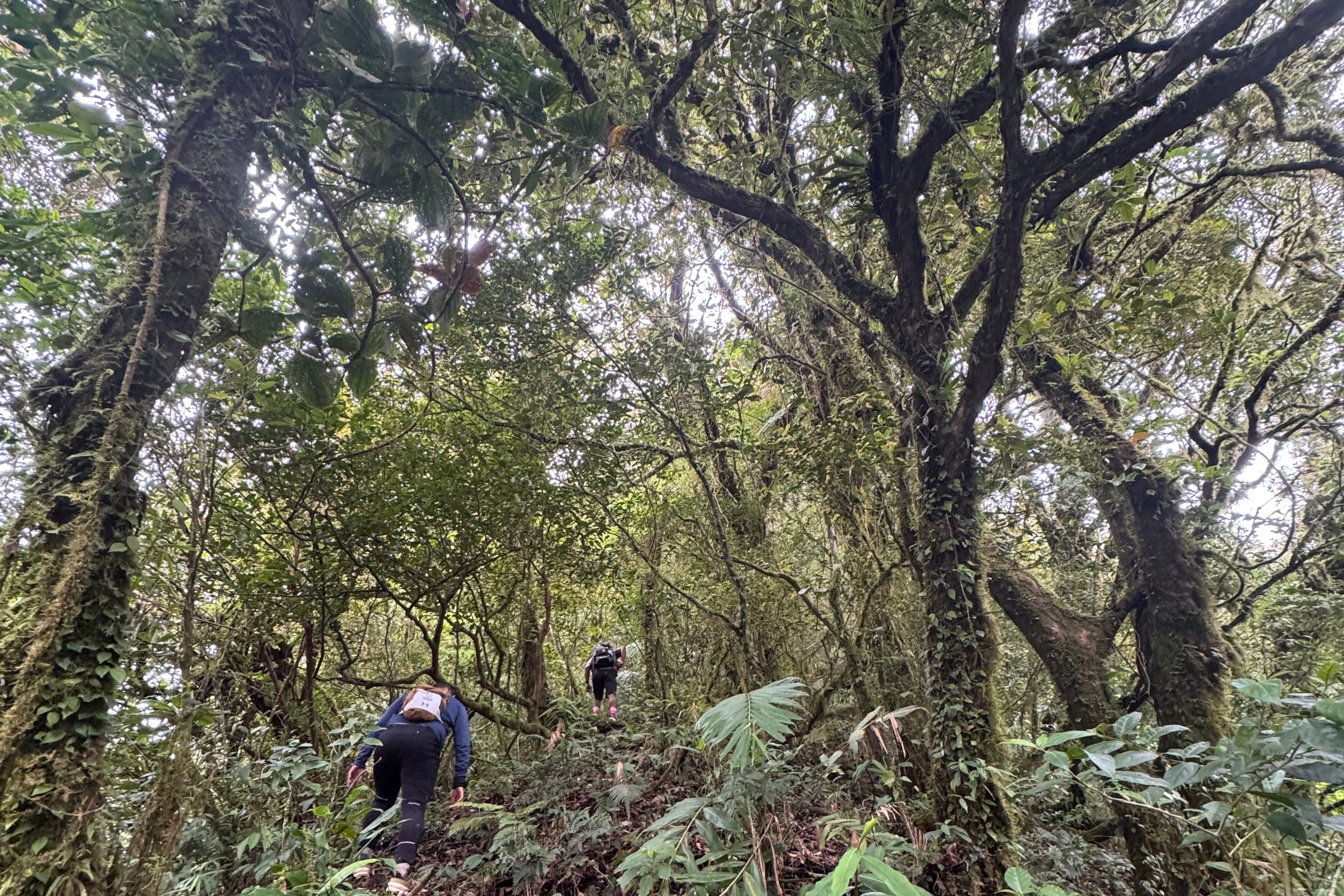
So, we started the ascent, passing mini waterfalls and some deforested areas before we finally hit almost 75 degrees ascent way up to Camp 1.
At this point, exhaustion was setting in. Every step felt like an eternity, but we pushed ourselves to keep climbing, knowing that reaching the summit before 9 AM was our goal.
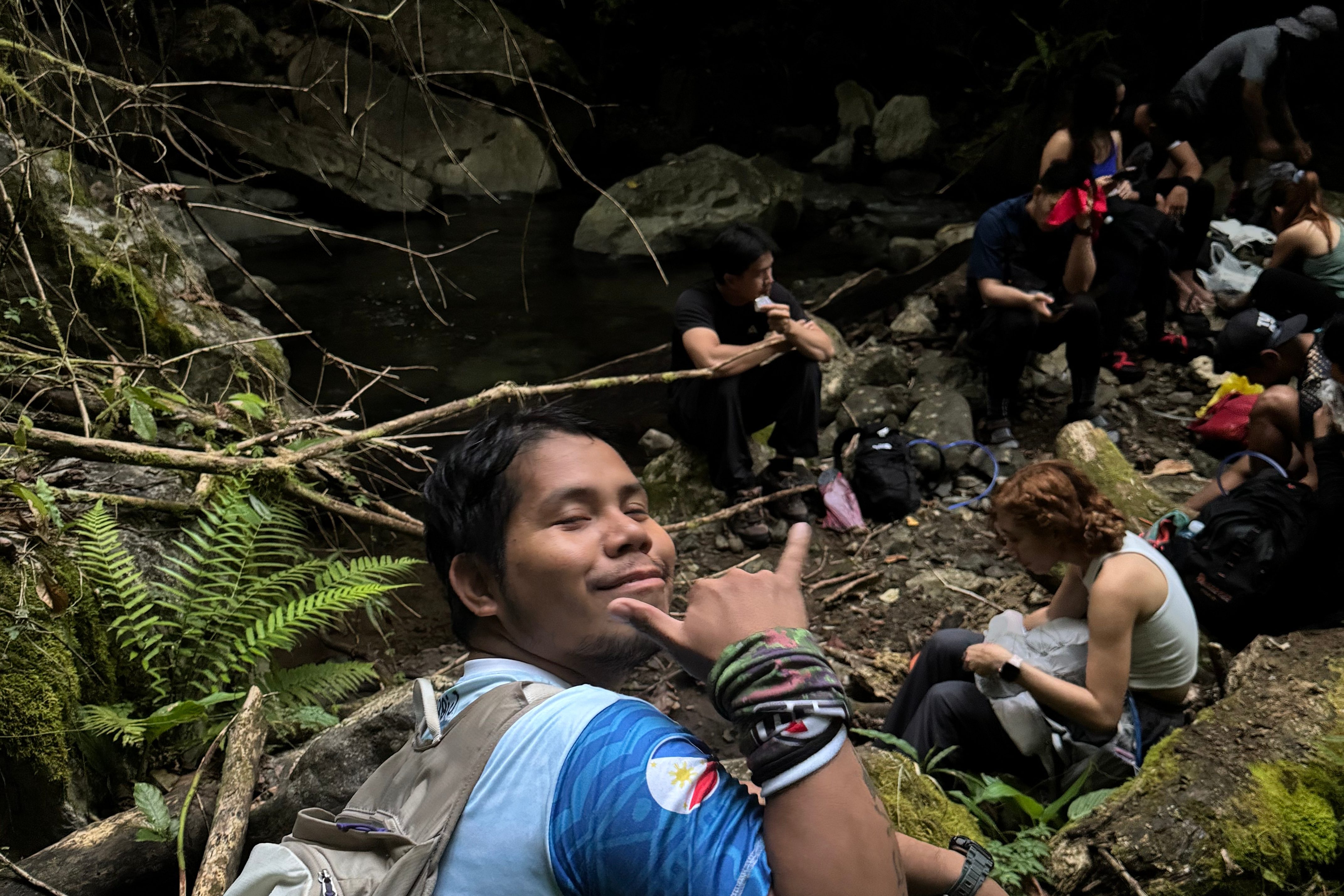
Eduard, our experienced lead, went ahead of us. By 7 AM, we reached Camp 1, and the summit was now within reach. The guide refilled our water bottles—this was the last water source before the summit.
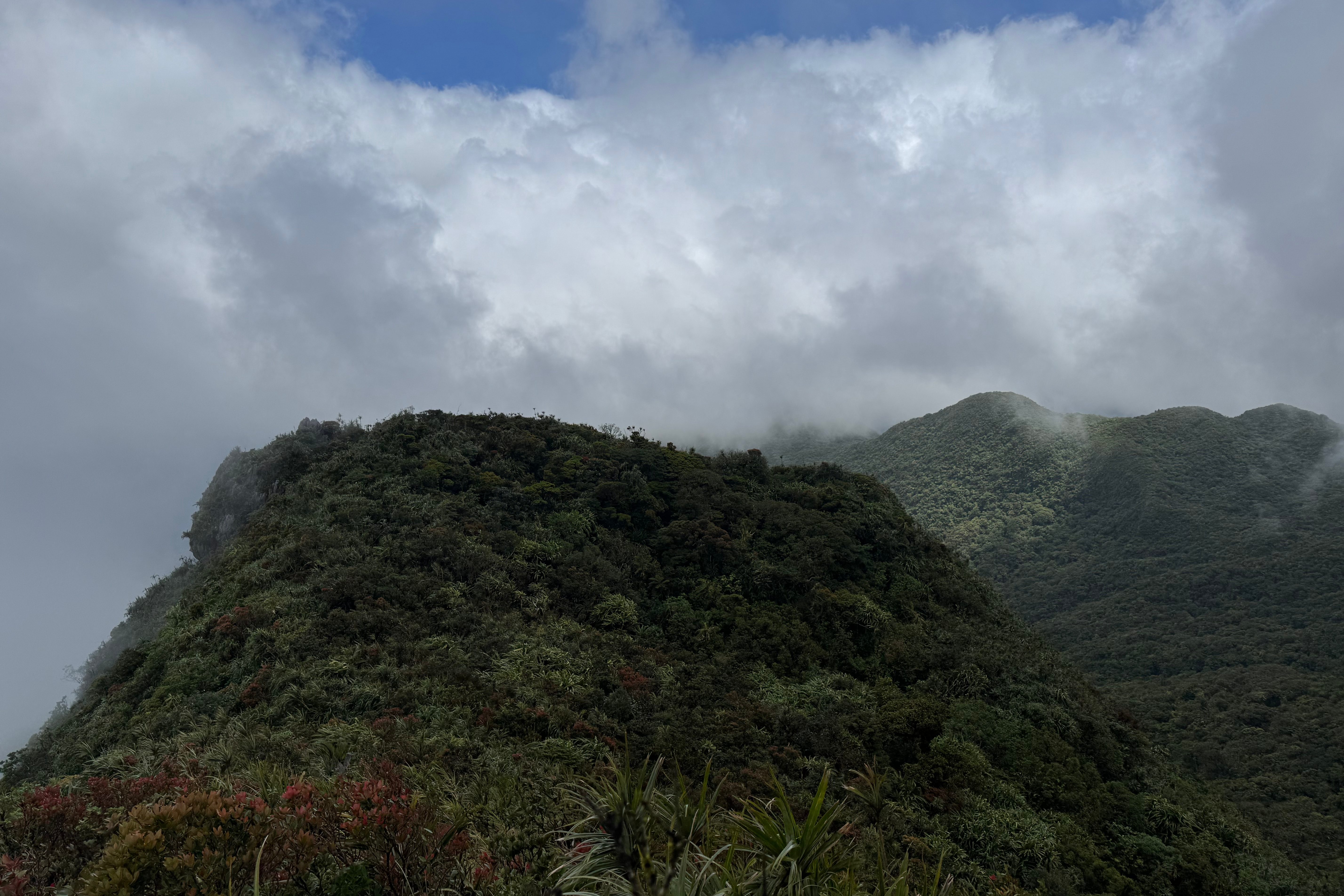
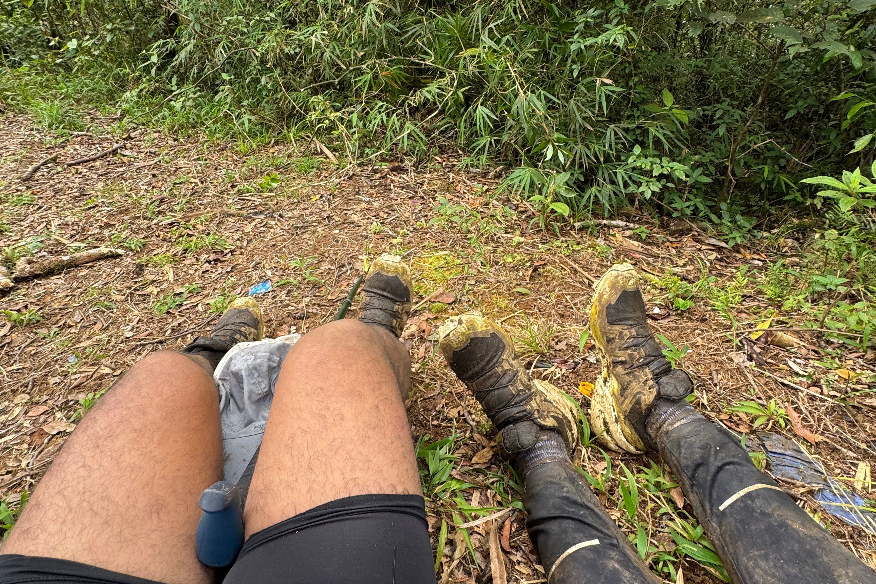
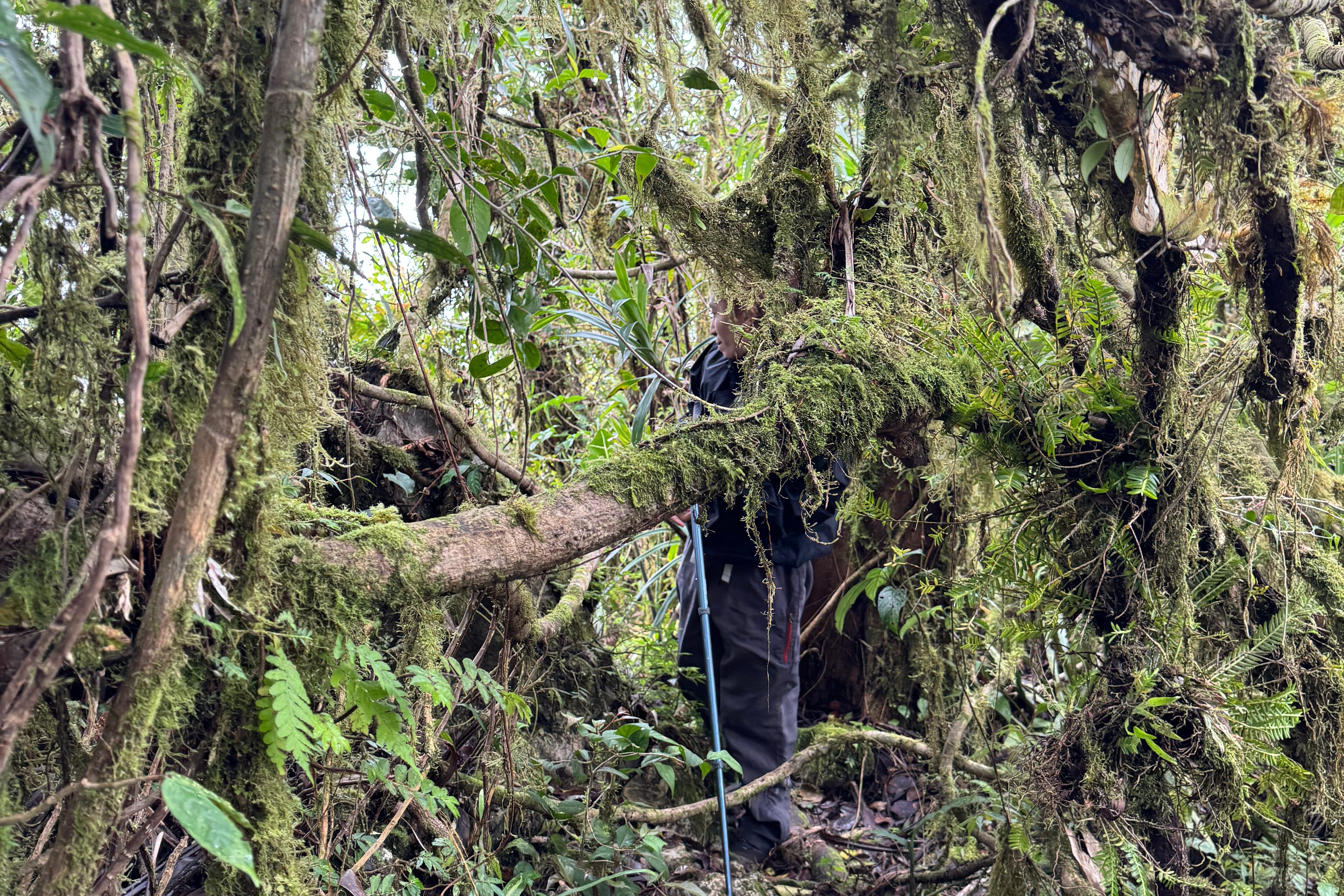
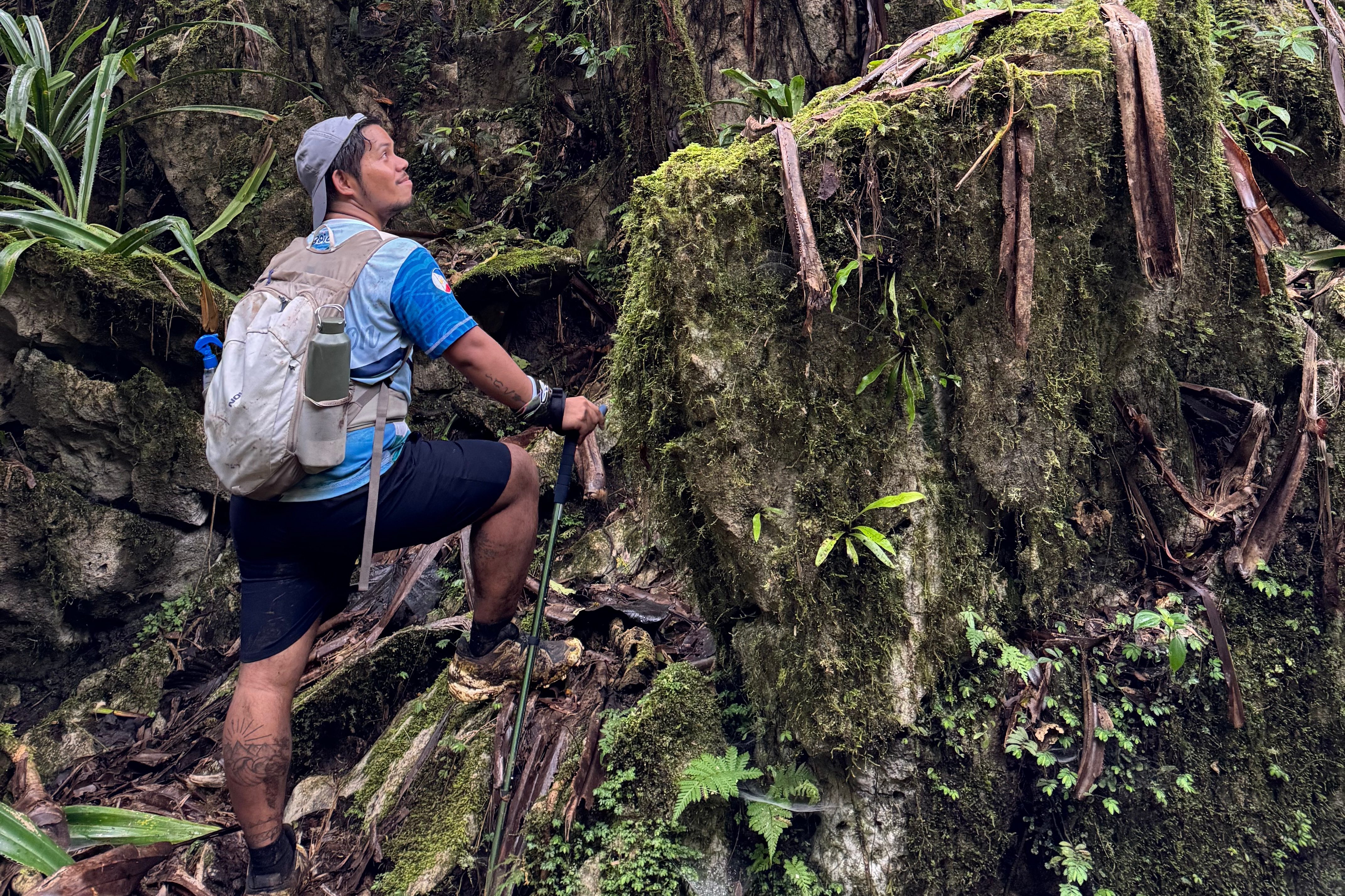
After a quick rest, we continued our hike, thinking the hardest part was behind us. But no, the trail decided to throw one last challenge our way: continuous ascents, sharp rocks, thorny plants, and muddy stretches. To make things even more intense, the trail was crawling with limatiks (forest leeches) and shrouded in fog, which hinted that we might not get a clear view at the summit.
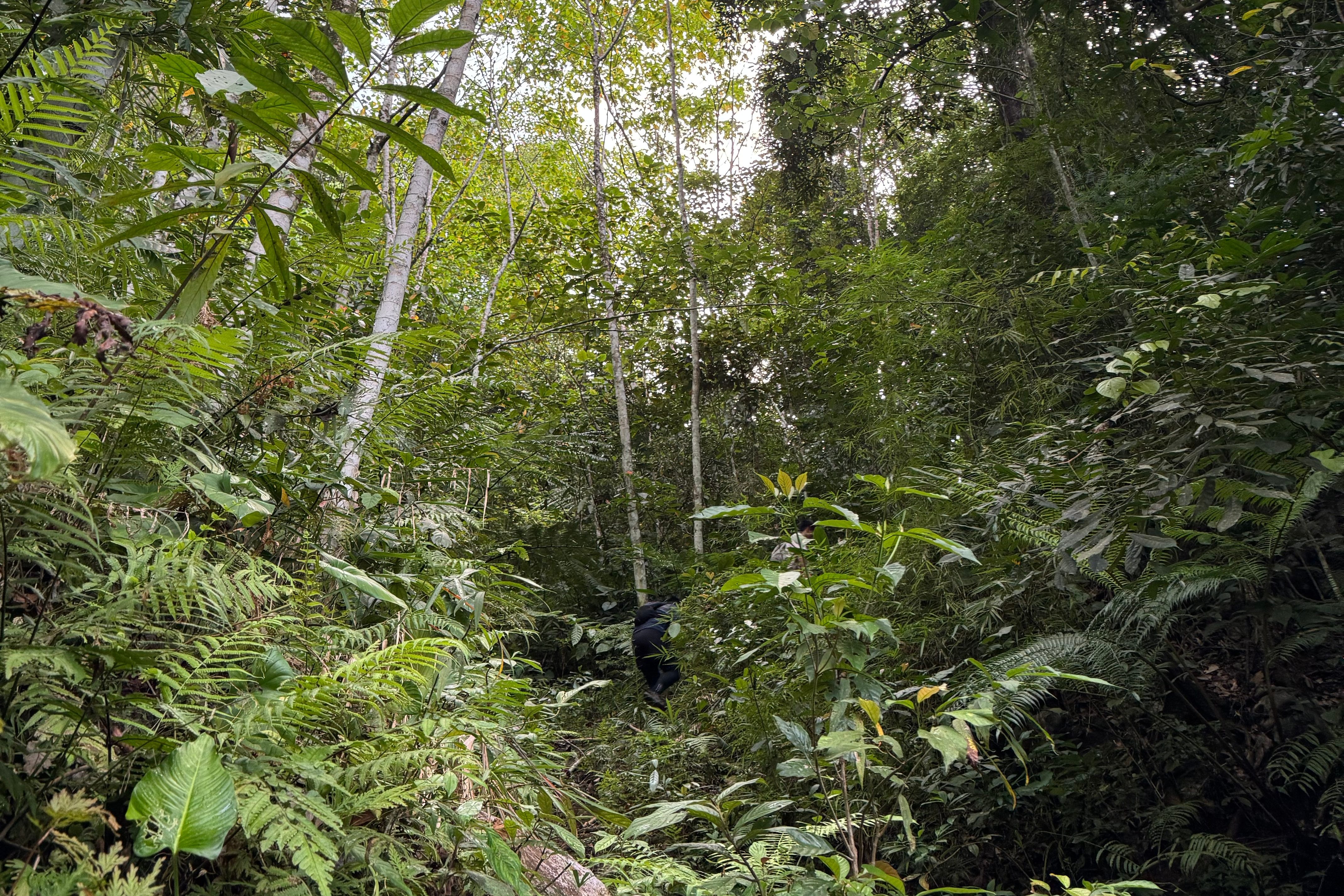
Despite being part of the lead group, we struggled to keep up. We kept hearing that the others were already at the summit, so we pushed ourselves harder. Twigs and rocks scraped our legs, and we winced every time we got caught by the thorny plants.
At around 10 AM, where we were just 30 minutes away from the summit, we decided to not traverse the Rosary Trail. So, we made the final push to the top, crawling like soldiers through the mud and rocks. By then, I was jokingly questioning myself: “Why am I doing this? Should I just stop hiking?😅”
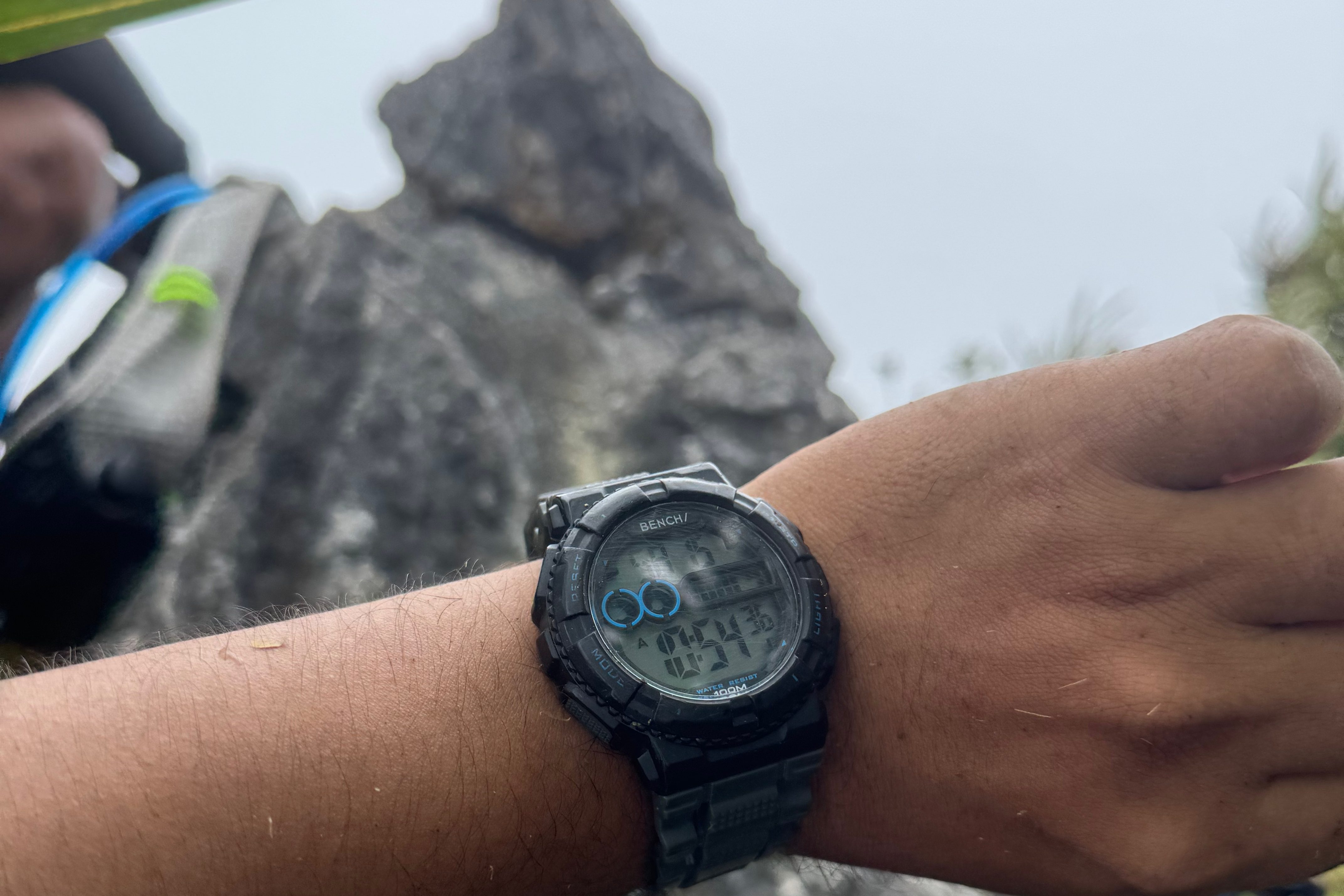
In the end, we reached the summit before 11 AM. There was no clearing to enjoy the view, but it didn’t matter. The sense of accomplishment made up for the lack of a scenic vista.
TOIL
This hike was one of the most physically demanding I’ve ever experienced, and it made me question why I put myself through such grueling trails when I could just hike easier mountains. But the truth is, once you complete a hike like this, you feel invincible. It was challenging, but we made it without injury—and that’s something to be proud of.
So yes, this trail is tough. For someone like me, an average-paced hiker, it’s definitely a 9/9 in difficulty. The constant river crossings, relentless ascents, limatik infestations, muddy trails, and thorny plants made it feel endless. But the rich, diverse forest? It made the entire struggle worth it.
Mt. Kamamasam is a hike I’ll never forget. It taught me patience, perseverance, and that sometimes the journey is more valuable than the destination. Even though the summit didn’t offer a view this time, I know I’ll be back to experience the beauty of this mountain again—because it’s worth it.
Ka-Ahons, if you’re planning to hike Mt. Kamamasam via the back trail, make sure to check out my blogs for more details. Stay tuned for my next post, where I’ll share my experience with the Rosary Trail!
Remember, this is a major 9/9 dayhike, so PLAN AHEAD AND PREPARE! And, of course, always follow the Leave No Trace (LNT) principles.
I hope this blog helps you prepare for your own #ChillAdventures. Just One More Step to more chill adventures!
Don’t forget to follow me on all of my social media accounts at Chill Adventures with Joms!

