
Travel far enough to meet yourself.
– David Mitchell –
For the past few months, hiking has become more than just a weekend escape for me—it’s starting to feel like a lifelong calling. Every time I lace up my boots and step onto a trail, I ask myself, “Why am I doing this?” The answer is always the same: the mountains are my playground, my sanctuary, my place of peace.

This post has been sitting in my drafts for far too long, but I knew I had to share this unforgettable experience—my spontaneous escape to Mount Negron, a hike that turned out to be the perfect way to close my 2024 hiking season.
The Unexpected Adventure to Mount Negron
Before this adventure, my hiking streak had hit a rough patch. Plans had either fallen apart, or I found myself ditching the trails to lounge by a river with friends, beer in hand. While those moments were fun, they lacked the thrill of conquering a new peak.
Then came an invitation from my best friend, Michelle. She and her group were planning a “revenge hike” to Mount Negron, the highest point in Pampanga. They had already reached the summit before, but this time, they wanted to beat their previous record and complete it in a shorter time. Always up for a challenge, I didn’t hesitate to join.

Sleepless and Unprepared—but Up for the Challenge
Leading up to the hike, my schedule was a mess. Since July 2024, I had been juggling a part-time job that left me sleep-deprived. My body felt drained, my eyes were swollen, and I was light-headed before we even started. But something inside me whispered, “Go.”
Curious about what lay ahead, I searched for blogs on Mount Negron but found almost nothing. The only information I managed to dig up was that it sat beside the famed Mount Pinatubo, which is standing at 1,595 masl. I vaguely remembered hearing about this peak while hiking the Lubot Trail. Locals had warned me back then that it was rarely climbed due to reports of indigenous groups being territorial. That only added to the mystery and excitement.
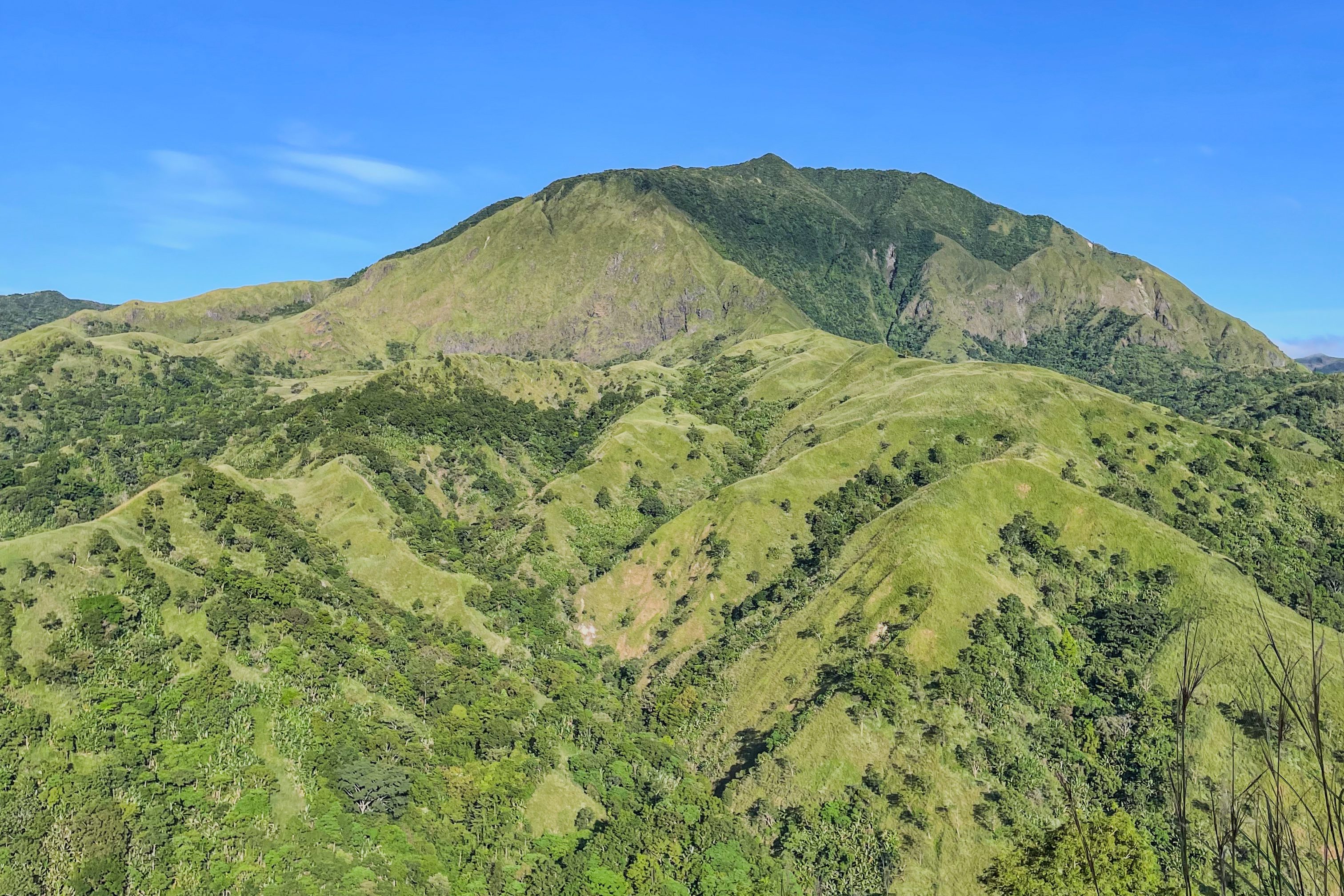
Standing at 1,584 meters above sea level, Mount Negron is the highest point in Pampanga—an undiscovered gem waiting to be explored.
The Journey Begins
Our adventure kicked off at Mayflower Greenfields, Mandaluyong—my usual pickup spot. By 11 PM, we were on the road, heading towards Porac, Pampanga, just a three-hour drive from Manila.
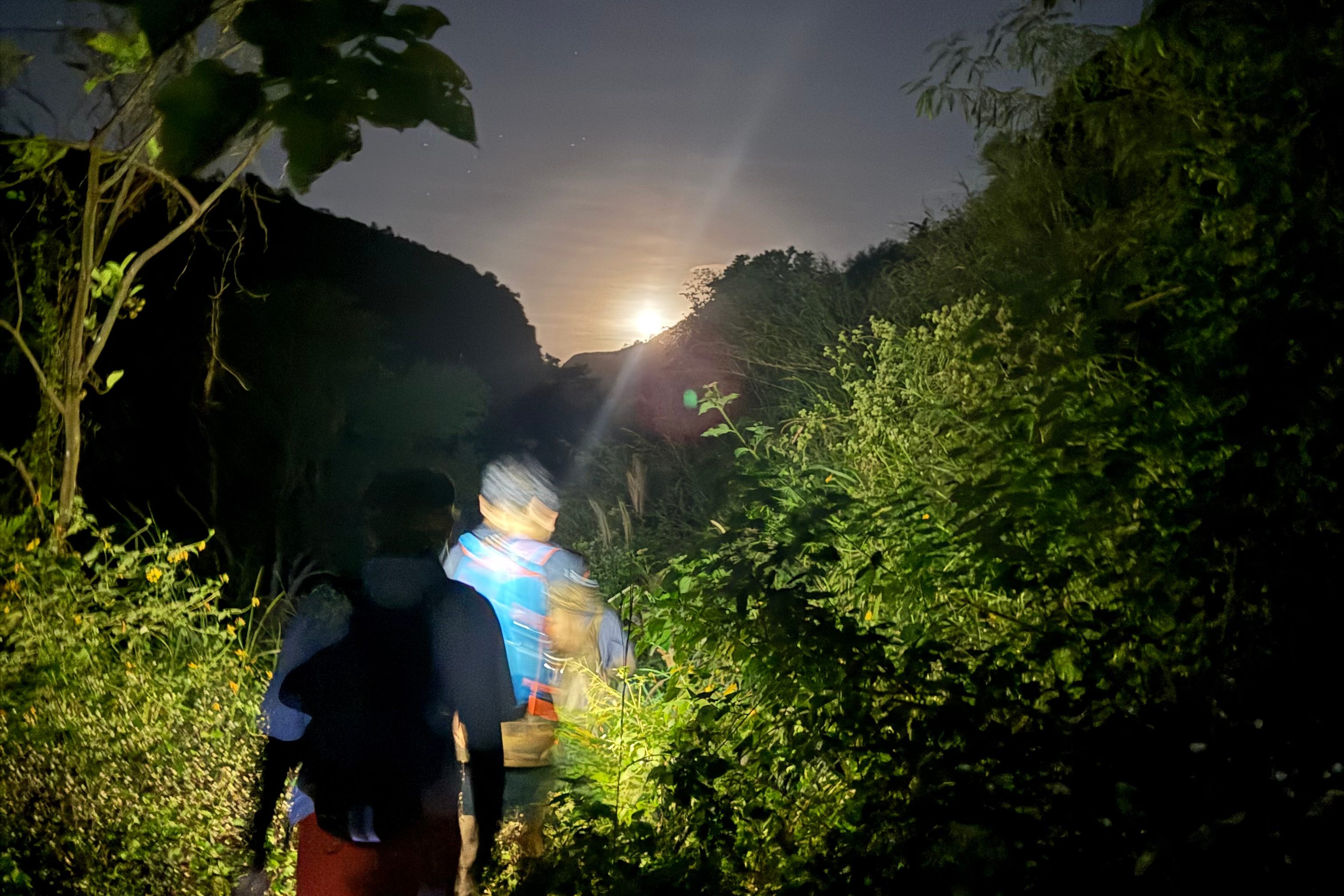
The van ride was surprisingly comfortable, and with plenty of legroom, I managed to get some much-needed sleep. When we arrived at the jump-off point in the remote barangay of Camias, the guides and our local contact were already waiting. The sky was clear, the moon was glowing—an omen for a beautiful summit clearing.
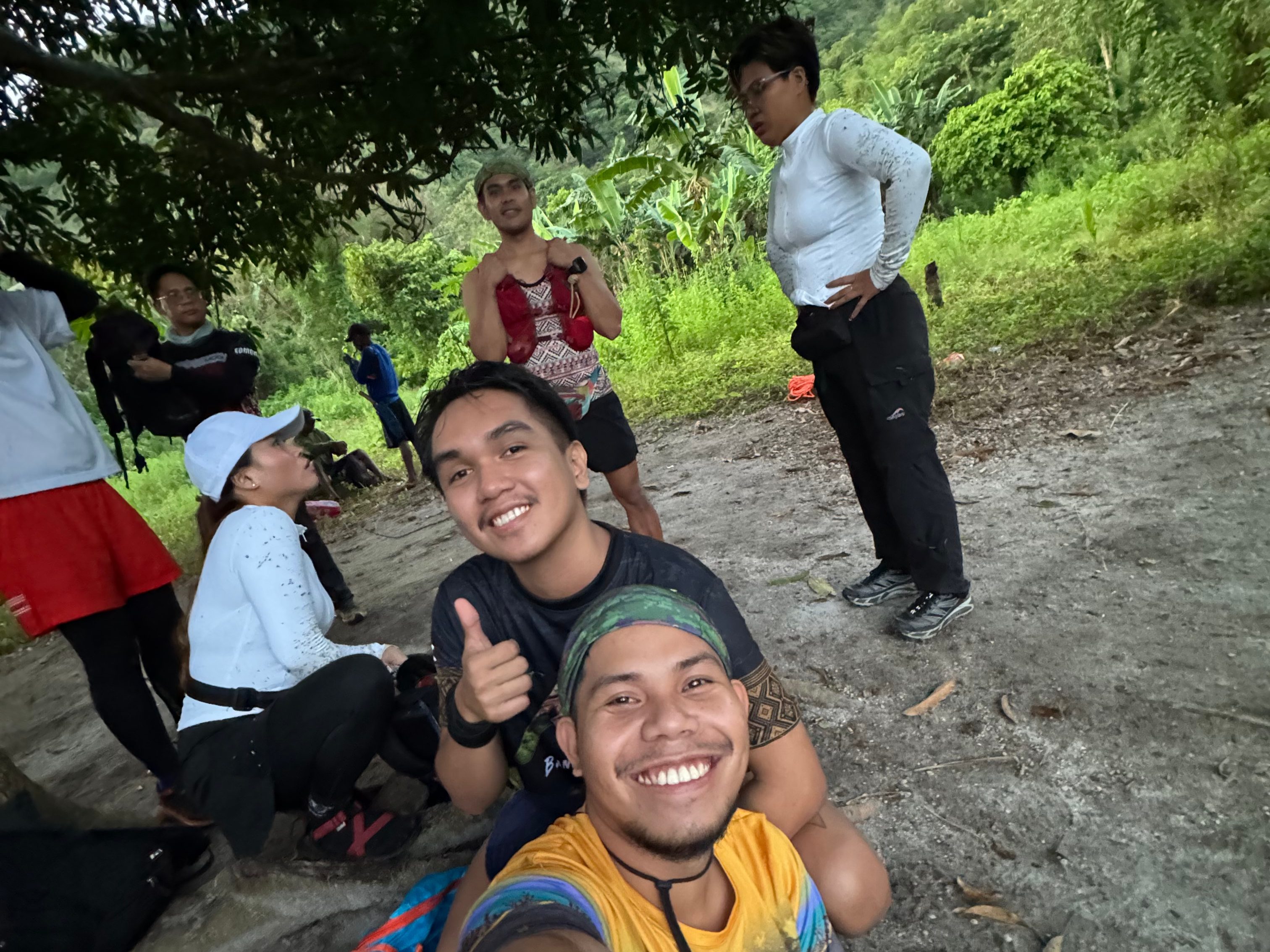
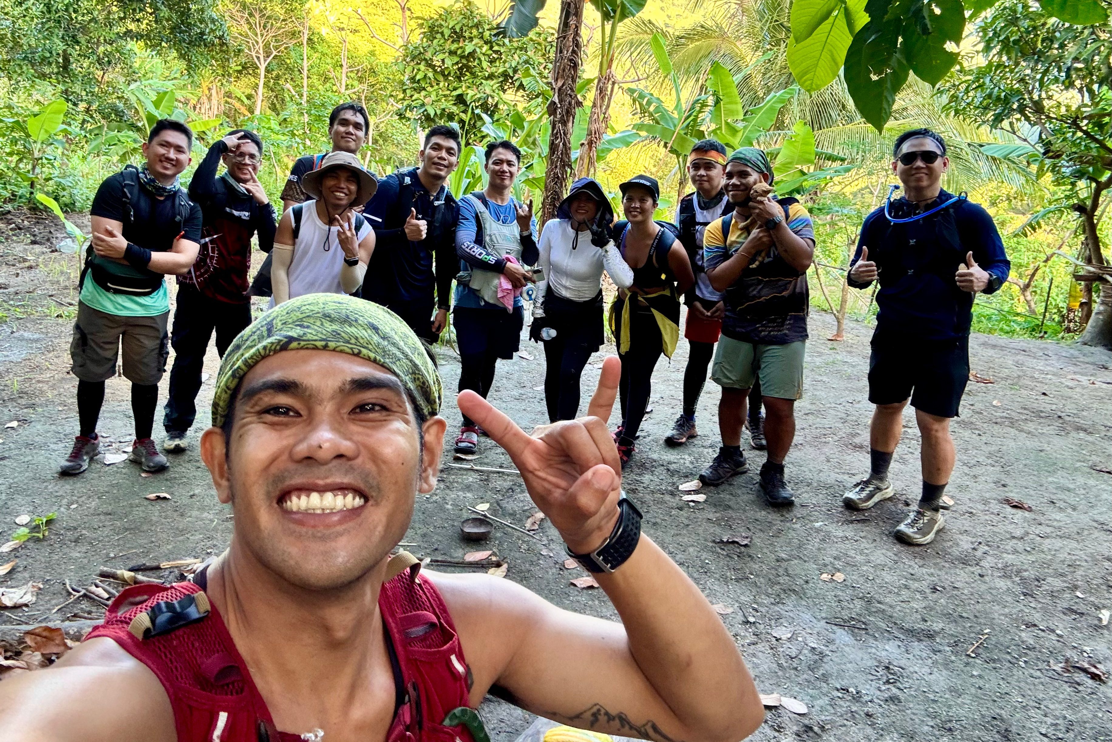
After signing in, we wasted no time. With my soul sister Michelle, Eduard, and the rest of the team—some of whom had attempted this hike two months prior—we were eager to take on the challenge. The trail ahead was daunting: nearly 40 kilometers round-trip, and when they first opened it, the hike took over 24 hours to complete.
The Three T’s of Mount Negron
As we embarked on this epic trek, I quickly realized that this mountain was not for the faint of heart. Let me break it down for you through the Three T’s of this trail:
- Time – How long did it take to finish?
- Trail – What kind of terrain did we conquer?
- Toil – How difficult was this hike, really?
Stay with me as I walk you through every step of this unforgettable journey.
TIME AND TRAIL
I wasn’t physically or mentally prepared for this hike. Working double shifts every day had drained me, and I wasn’t sure if I had the stamina to finish on time. All I had was sheer determination—not to be the last one in the group.
As soon as we started, my nerves kicked in. The lead group took off like jet planes, their speed leaving me breathless. We set out past 3 AM, and within minutes, I was already struggling to keep up.
The first part of the trail was relatively easy—a simple 30-minute to one-hour walk leading to the first river crossing. But soon, the real challenge began. The trail was lined with thorny shrubs that made every step tricky. Even though the path was well-established, thanks to the locals using it daily, it was far from an easy trek.
Then came the countless river crossings. We waded through rushing currents, maintaining our pace while trying not to slip. Keeping up with the lead group became increasingly difficult, but I refused to fall too far behind. One river crossing down, then another, then another… I lost count. The thought of having to go through all these crossings again on the way back made me question why I had signed up for such a grueling hike.

After what felt like forever, the river crossings were finally behind us. The trail started ascending, cutting through banana plantations. By then, the lead group—Michelle, James, Eduard, Christopher, Eric, and Ricky (our local organizer)—had already disappeared ahead. I finally admitted to myself that keeping up with them was impossible. I decided to stick to my own pace.
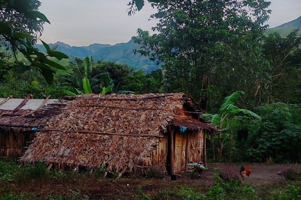
Two hours in, we reached the first nipa hut and water source. It was already 6 AM, and we only stopped for a quick break before pushing forward. The goal was to reach the summit before noon for a better chance of clear skies.
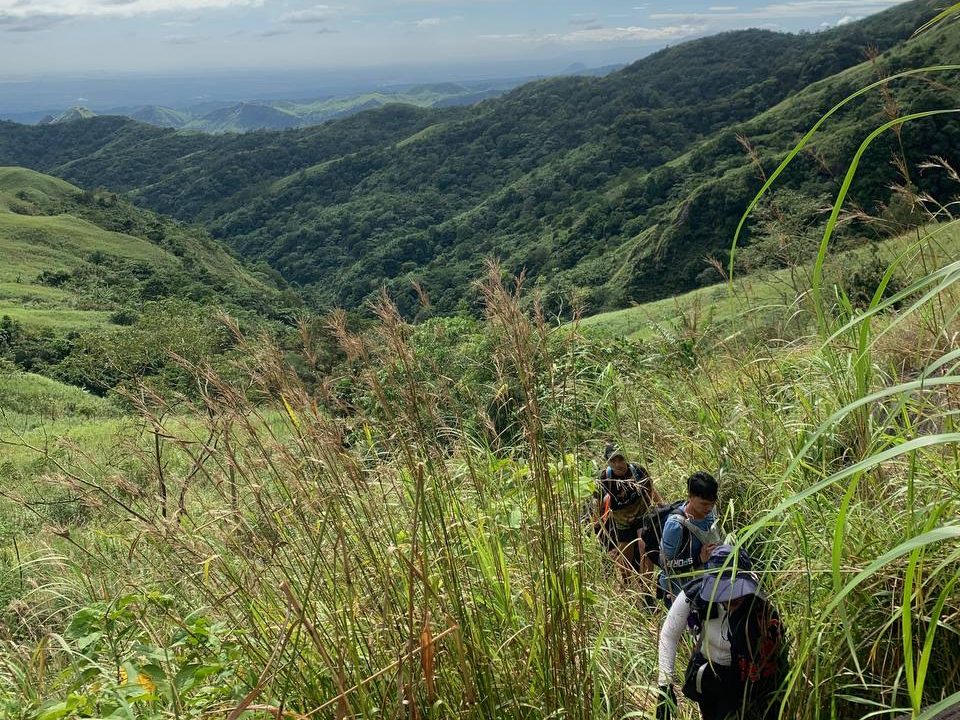
We passed through an endless sea of tall talahib grass. The thick blades towered over me, making navigation difficult. Worse, I hadn’t worn sleeves, so my arms suffered from constant scratches. I pressed on at my usual pace, trailing behind the lead group, who seemed to be sprinting at this point.
After another hour, we arrived at the second nipa hut. The locals offered us freshly harvested bananas—a much-needed energy boost. But with time ticking, we only stayed for five minutes before setting off again.
The terrain became more demanding, with rolling hills and steeper ascents. Just when I thought we were making progress, we faced yet another endless stretch of banana plantations. My exhaustion was creeping in. The air felt thinner, and the relentless climbs tested my endurance. I was alone again, struggling to keep up.
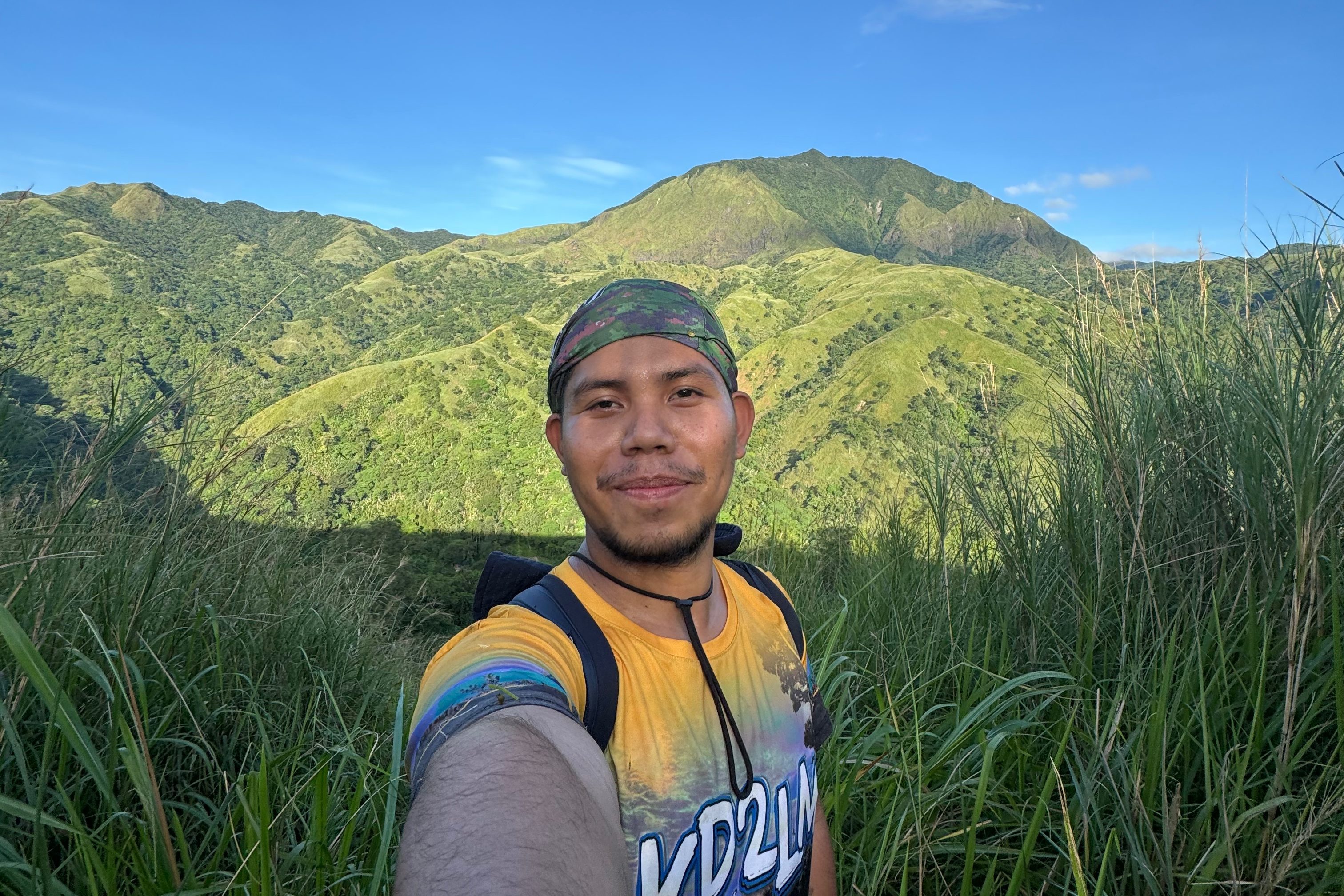
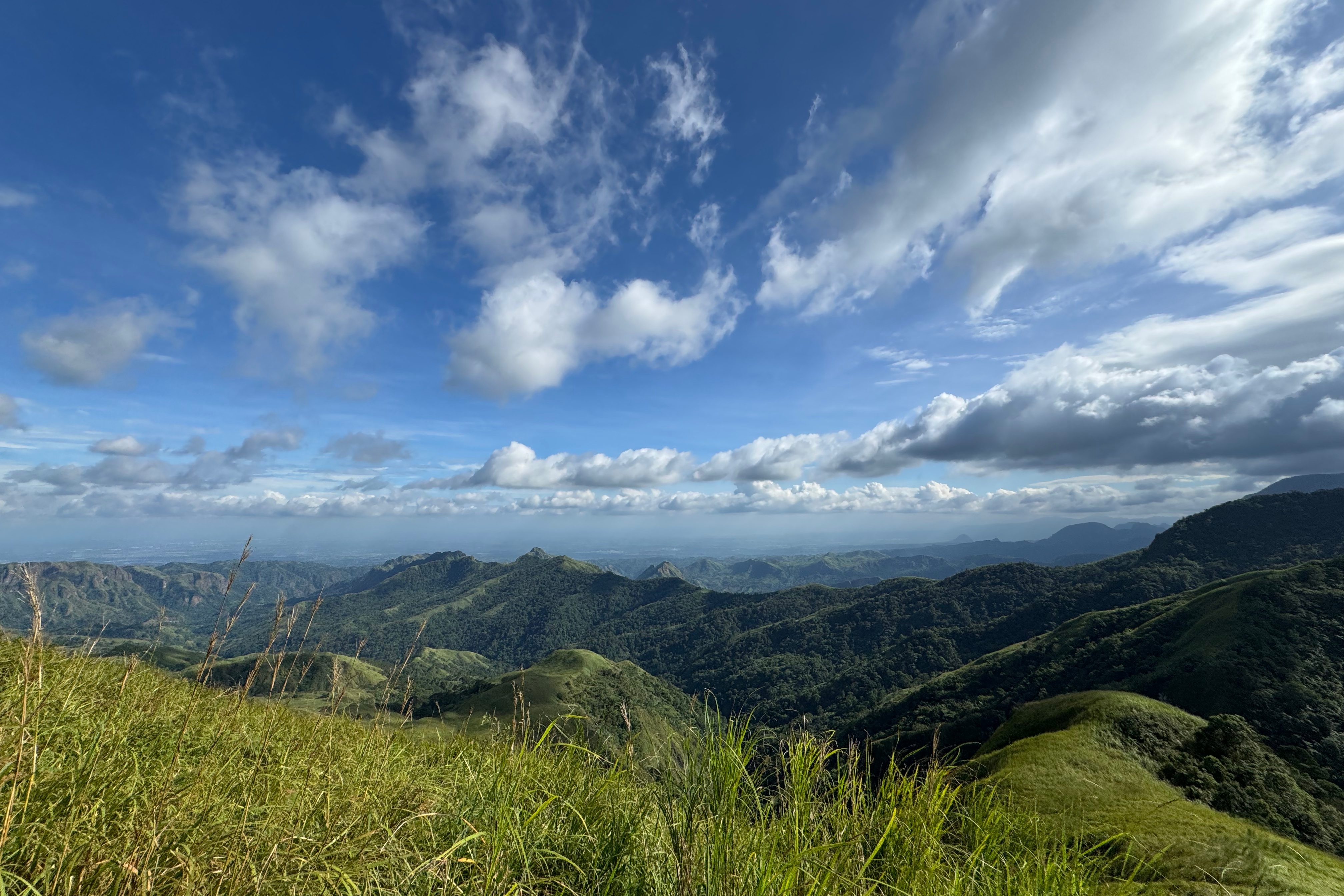
As we descended into a valley, Mount Negron finally came into view. The sight was breathtaking—it felt within reach. But reality set in when I realized we weren’t even halfway there. After a short downhill stretch, we reached the last water source and final river crossing before making our way to the last nipa hut, owned by one of the local guides. There, we had breakfast and enjoyed a freshly picked papaya before continuing.
By then, it was already past 8 AM. Our guide estimated that we had another 3-4 hours to reach the summit. The thought of more endless banana forests ahead was mentally draining, but I pushed forward.

The higher we climbed, the thinner the air became. My legs burned, and my energy was fading. Once again, I found myself hiking alone, watching the lead group disappear into the distance.
Finally, after what felt like an eternity, I heard voices—it was the lead group, resting at the final campsite before the summit push. The mountain was beautiful, but the sun was merciless. Without wasting time, we made the last push through another stretch of talahib grass, leading to a steep ascent.

Minutes later, the lead group had already reached the rock at the ridge, taking photos and enjoying the view. Meanwhile, I struggled with the last climb—my fear of heights kicking in as I navigated the exposed ridge. One wrong step, and I could see exactly where I’d fall.
Pushing past my fear, I continued the final ascent through a thick forest. The winds grew stronger, and the clouds above the summit darkened. The lead group had already vanished ahead, leaving me to traverse the dense, thorny trail alone. I had to crawl over fallen trees and push through tangled grass, but there was something peaceful about this moment—just me, the forest, and the quiet determination to reach the top.
By noon, I was still ascending. The clouds thickened, and exhaustion threatened to take over. Then, finally—after nearly three hours of continuous climbing—I reached the summit at past 1 PM. It had taken me ten grueling hours, battling steep ascents, open ridges, and thin air. The clearing was partial, but the view was still breathtaking.

TOIL
The Philippine Mountaineering Society has yet to classify Mount Negron’s difficulty level, but let me tell you—this is not a hike for beginners. If you think Mount Pinatubo’s Lubot Trail is tough (even with an overnight itinerary), Mount Negron is on another level, especially as a day hike.

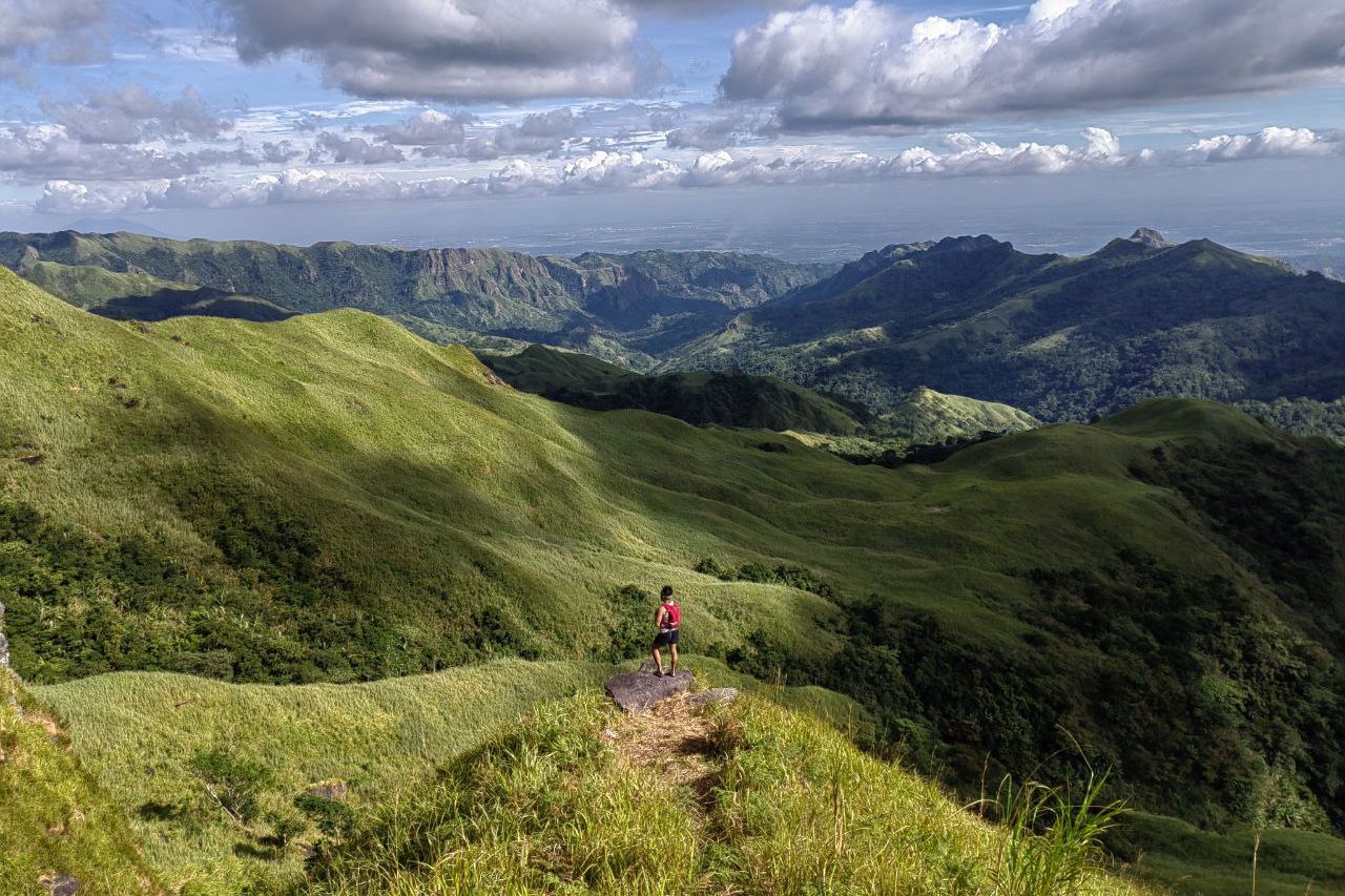
This trail will push you to your limits. The endless river crossings, never-ending banana plantations, rolling hills, open ridges, and thick talahib grass will test not just your physical strength but also your patience and mental grit.
OUR DESCENT
This was a backtrail hike, meaning we had to take the exact same route down. That also meant revisiting the treacherous ridges, banana forests, and river crossings.
Once again, the lead group took off like birds in flight. I was left alone, moving at my own pace. I couldn’t help but joke to myself—did they have wings? HAHAH.
At the last nipa hut, I was relieved when Eric decided to stay with me. Having company meant I wouldn’t have to traverse the banana forest and talahib grass alone. As nightfall approached, we picked up the pace, knowing we’d be navigating the trail in complete darkness soon.
Despite our efforts, we eventually found ourselves hiking without a guide in the pitch-black night. I relied on memory to navigate, but the last river crossing threw me off. That, however, is a story for another post.
FINAL THOUGHTS
Was this still a “chill adventure”? Absolutely not—haha but it’s just your ultimate chill adventure! Imagine getting lost without a guide and hiking alone for most of the trail because you couldn’t keep up with the lead group.
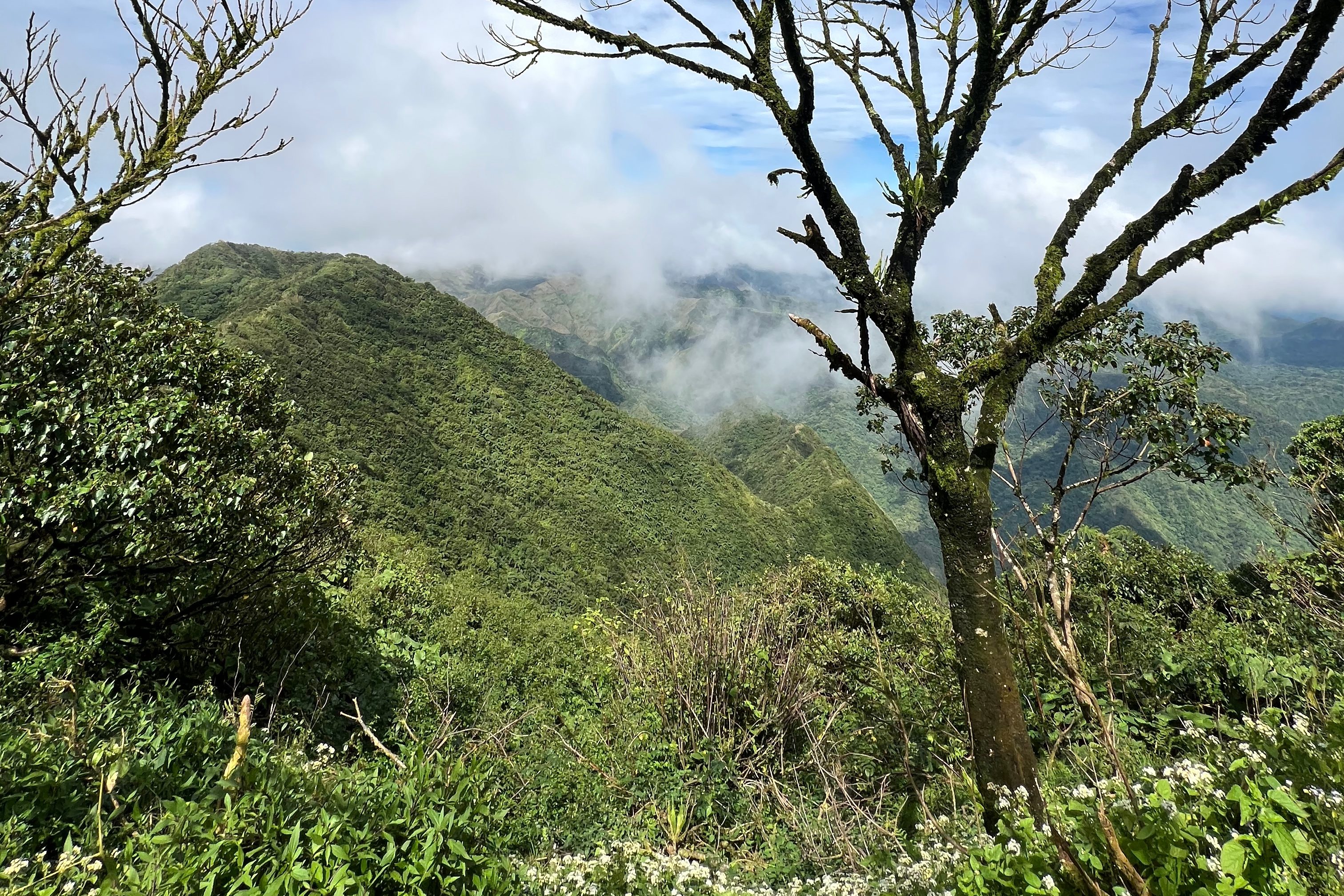
But was it an unforgettable adventure? Without a doubt. Mount Negron is a mountain for the books—an escape to true serenity. Unlike popular hiking trails, you won’t see crowds here. Instead, you’ll be surrounded by banana trees, towering talahib grass, and a mystical mossy forest.
This hike will test your endurance, patience, and entire being. If you plan to take on Mount Negron, be prepared for the challenge of a lifetime.
Don’t forget: Leave No Trace! Let’s keep Mt. NEGRON CLEAN and beautiful for future adventurers. 🌍✨

I hope this blog helps you prepare for your own #ChillAdventures. Just One More Step to more chill adventures!
Don’t forget to follow me on all of my social media accounts at Chill Adventures with Joms!
See you in the next adventure, mga ka-Ahon! 🚀


Scenery looks amazing!
LikeLiked by 1 person
thank you!
LikeLike